Startseite
Neuheiten
Kategorien
☰
Imray, Laurie, Norie & Wilson Ltd
Bisher veröffentlichte Bücher des Verlags Imray, Laurie, Norie & Wilson Ltd:
Ansehen
Westliche Ägäis - Die attische Küste, der östliche Peloponnes, die westlichen Kykladen und die...
Heikell Rod and Lucinda
Die Westägäis von Rod und Lucinda Heikell umfasst...
Ansehen
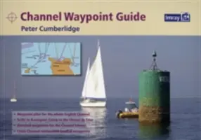
Kanal-Wegweiser - Channel Waypoint Guide
Peter Cumberlidge
Ein umfassender Wegpunkt-Lotse für beide Seiten des Ärmelkanals, von den Isles of Scilly bis Ramsgate und von...
Ansehen
9781846236433 - Golfo di Trieste nach Bar und Promontorio del Gargano - 9781846236433 - Golfo di...
Imray
In dieser Ausgabe wurde die Kartenspezifikation...
Ansehen
Imray Karte M46 - Isole Pontine bis zum Golf von Neapel - Imray Chart M46 - Isole Pontine to the Bay...
Imray
In dieser Ausgabe wurde die Kartenspezifikation...
Ansehen
Imray Karte B2 - Barbados - Imray Chart B2 - Barbados
Imray Laurie Norie & Wilson Ltd
Karibisches MeerEnthaltene Pläne:Port St Charles & Port Ferdinand...
Ansehen
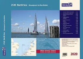
Imray 2120 Nordsee - Nieuwpoort bis Den Helder Kartenatlas 2020 - Nieuwpoort bis Den Helder...
Imray
Dieser Atlas ist Teil der beliebten...
Ansehen
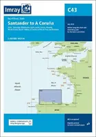
Imray Karte C43 - Santander nach A Coruna - Imray Chart C43 - Santander to A Coruna
Imray
In dieser Ausgabe wurde die Kartenspezifikation...
Ansehen
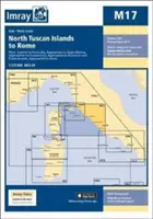
Imray Karte M17 - Nördliche Toskanische Inseln nach Rom - Imray Chart M17 - North Tuscan Islands to...
Imray
Für dieses Jahr 2017 wurden die neuesten bekannten...
Ansehen
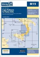
Imray Karte M19 - Capo Palinuro bis Punta Stilo - Imray Chart M19 - Capo Palinuro to Punta...
Imray Imray
In dieser Ausgabe 2018 wurde die...
Ansehen
Inland Waterways of Great Britain
Jane Cumberlidge
Das Standardwerk über die Wasserstraßen von England, Wales und Schottland wurde vollständig überarbeitet. Die 8. Auflage...
<<
3
4
5
···
10
>>